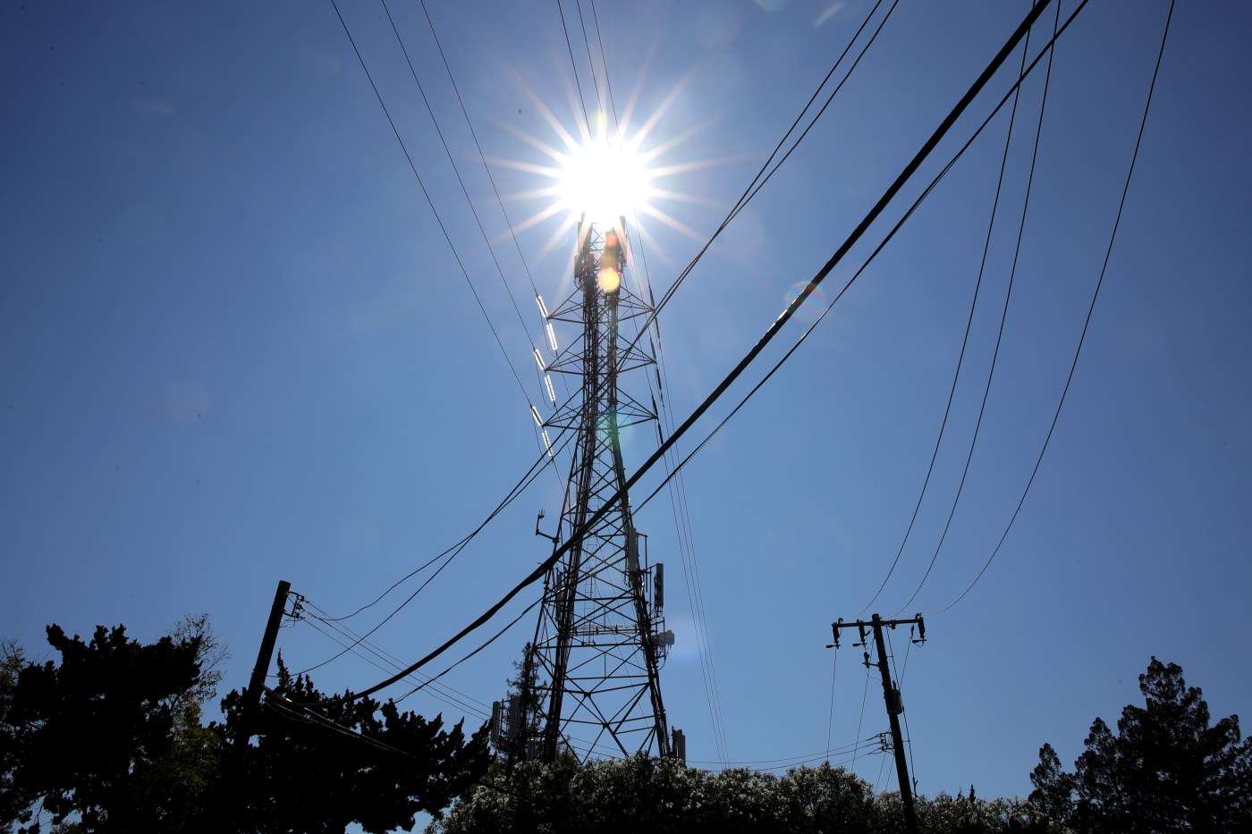
A hot start to October will greet the Bay Area, and some won’t feel relief for a week
The onset of the first full month of autumn will bring with it red-hot temperatures in the Bay Area, according to the National Weather Service. The bon voyage to the month that says goodbye to summer wasn’t set to be much cooler.
“It still appears that Tuesday and Wednesday this week are going to be the hottest days,” NWS meteorologist Dalton Behringer said. “But the rest of them are going to be pretty warm, too, and we’ll feel the change starting Monday.”
Related Articles
As extreme heat rises, Newsom blocks bill to protect California farmworkers
Police: No cruelty, neglect signs found in death of East Bay dog from heat stroke
A brief heat wave is expected in the Bay Area next week; the appetizer arrived Friday
Capitola Wharf ‘grand reopening’ celebrates rebuilding after catastrophic 2023 storm
Dog trapped on East Bay balcony dies in heat
The blistering conditions are expected to lift the thermometer into the mid-to-high 90s in the hottest spots Monday and then into triple digits at least until Thursday, according to Behringer. Temperatures are expected to max on Wednesday, when they climb to at least 105 in the hottest inland areas.
it won’t be much cooler elsewhere. In the South Bay, Morgan Hill and San Jose are expected to reach at least 96 degrees on Monday and are likely to surpass 100 on Tuesday and Wednesday. San Mateo and Oakland are forecast to be in the upper 80s on Monday and the mid-90s by mid-week. Temperatures are expected to surpass 90 in San Francisco on Tuesday.
Overall, Behringer said temperatures will run 15-25 degrees higher than their average figures.
“Yes, that’s right. It’s gonna be that hot,” Behringer said. “We’ve got high pressure aloft, and we’ve got the upper low pressure that cooled it off over the weekend moving out.”
A heat advisory was set to go into effect for the entire region and Central Coast at 11 a.m. Monday and expected to remain in place at least through Wednesday. A Spare the Air Alert also was in place.
Behringer said the pattern is also “causing a weak off-shore flow (Monday) morning, and that’s what’s enhancing the heat and the temperatures, especially along the coast.”
The off-shore winds — winds blowing toward the water instead of in from it — usually factor into dangerous fire conditions, and Behringer said some areas of the region could receive a red flag warning for fire danger before the week is over. Those areas likely would be in higher elevations and isolated, he said.
“Right now, we’re flirting with red-flag conditions,” he said.
PG&E warned customers that it may shut off power in parts of Alameda and Contra Costa counties during the heat wave. The potential shutoff is part of PG&E’s Public Safety Shutoff Program, which preemptively shuts down power in areas that reach a certain threshold of fire risk.
Behringer said the more encouraging news is that the surface high pressure that is creating the off-shore winds is expected to migrate out of the area on Wednesday, and that areas closer to the Bay and coast will be significantly cooler on Thursday and Friday.
The heat inland and in the upper elevations will likely stay all week, according to Behringer, without relief for those areas until early next week.


