High hurricane activity is a ‘virtual certainty’ for the first half of October, experts say
Experts believe with “virtual certainty” that the next two weeks of hurricane season will have above-normal activity.
In their two-week forecast report, Colorado State University meteorologists said they see a 99% chance of above-normal activity in the Atlantic basin, and a mere 1% chance of normal activity. There’s a 0% chance of below-normal activity.
The meteorologists examine Accumulated Cyclone Energy (ACE), the collective strength and duration of Atlantic tropical storms and hurricanes occurring during a given time period. The university compares the anticipated ACE for the first two weeks of October with normal ACE from the same monthly period from 1966-2023.
“We anticipate well above average October–November Caribbean Accumulated Cyclone Energy,” the report said.
The university bases its forecast on current storm activity, National Hurricane Center outlooks and global models.
Historically, the primary threat area for major hurricane formations shifts farther to the west, the report said, with formations picking up considerably in the western Caribbean.
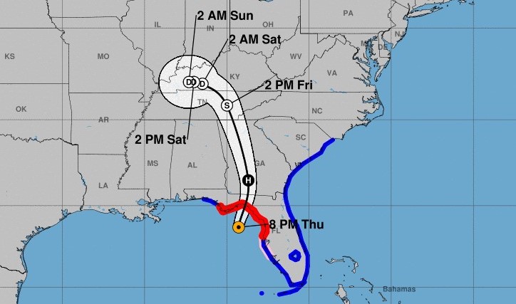
That’s where the highly destructive Hurricane Helene formed two weeks ago, and where another system is currently brewing.
Tropical Storm Kirk, currently moving across the Atlantic, will likely grow into a major hurricane, “effectively guaranteeing the above-normal category for the two-week period,” said the report. Fortunately, Kirk will likely track north, away from land.
Additional systems, one off Africa and the aforementioned Western Caribbean system off the east coast of Costa Rica, will add to the ACE. The Caribbean system is of particular concern, as it could enter the Gulf of Mexico, where high water temperatures could fuel its power.
Colorado State University also looks at the Madden-Julian oscillation (MJO), which is a weather pattern that travels around the planet, enhancing stormy weather or calm weather. In the first half of October, the MJO will be over the Indian Ocean, which means less wind shear, and more hurricane activity in the Atlantic.


