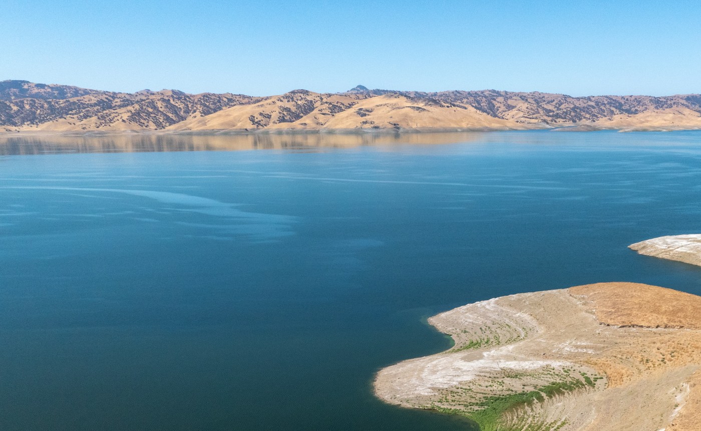
How full are California’s reservoirs heading into the winter rainy season?
The weeks around Halloween in California usually bring cooler weather, Christmas decorations appearing in stores, leaves to rake and umbrellas opening for the first time since spring.
So far this year it’s still dry. No major rain is forecast through the end of October. But that doesn’t mean the state is heading for water shortages. Because the past two winters have been wetter-than-normal, California’s major reservoirs are currently holding more water than usual for this time of year.
That’s giving the state — which has suffered through three severe droughts over the past 15 years — a welcome water supply cushion, experts say, as this winter season approaches.
On Tuesday, the 154 largest reservoirs in California were at 114% of their normal capacity for this date, according to data from the state Department of Water Resources.
The biggest, Shasta Lake, near Redding, was 58% full, or 107% of normal. The second biggest, Oroville, in Butte County, was 51% full, or 96% of average. Massive San Luis Reservoir east of Gilroy was 51% full, or 116% of normal.
“The reservoirs are in pretty good shape,” said Jay Lund, a professor of environmental engineering at UC Davis. “We had a wet year in 2023, then a better-than-average winter this year. It’s nice to have water in the reservoirs. Things are probably looking good for the next year or so.”
Due to its Mediterranean climate, California receives most of its rain and snow during the winter months. In the Bay Area, 73% of the average annual rainfall comes in just four months: December, January, February and March. When winter rains are plentiful, reservoirs fill and groundwater recharges, like a bank account. In dry winters, they don’t, and both are drawn down by cities and farms over the summer months, causing water shortages and drought restrictions.
“I’d much rather be starting off the winter where we are now than having reservoirs starting at 60% of normal, which we have in the recent past,” said Jan Null, a meteorologist with Golden Gate Weather Services in Half Moon Bay. “We can stand one dry year. But when we get to back-to-back dry winters, we start to use the “d word,” and then after three dry years in a row, it’s a capital D.”
How rare is it to start the winter with reservoirs at healthy levels?
In the past decade, back to 2014, there have only been two years — 2023 and 2019 — when California’s major reservoirs were above 100% of their historical average at the end of October.
In most of the other years, water managers were ominously looking at the sky, hoping for huge storms to catch up.
As is usually the case with California water, however, every silver lining has a cloud. Because this summer had several extreme heat waves, the ground in many areas is particularly dry, said Michael Anderson, the state’s climatologist at the Department of Water Resources.
If several soaking rainstorms don’t increase moisture levels in the soils before it starts to snow, that increases the chances that more Sierra Nevada snow in the spring will simply melt and soak into the ground, he said, rather than running off and refilling reservoirs.
Big early winter storms also end fire season in most places by wetting trees and brush.
Last year was a good winter for water supplies. The Sierra snowpack on April 1 was 111% of normal. The previous winter was the snowiest in 40 years, at 237% of normal on April 1. And the year before that, during the third year of a drought, on April 1, 2022, the snowpack was just 37% of normal.
What’s the outlook for this winter? In the short-term, forecasts say more dry weather.
“We might get a little rain in the north,” Anderson said. “But it’s only the tail of a system that is mostly going to wet Oregon and Washington. Otherwise we’re looking at dry weather into early November at least.”
A weak weather system is expected to to bring one-tenth of an inch of rain to the Mendocino and Humboldt coast areas, and possibly 1 inch of snow to the Sierra on Monday, according to the National Weather Service. But none is forecast for the Bay Area or Southern California.
And the winter outlook? Nobody knows with any certainty.
“We can accurately predict the weather for up to about a week away,” Null said. “Fifty years ago it was about three days away. Out past a week to two weeks, we might get a general trend, like wetter-than-normal or drier-than-normal. But beyond two weeks there’s not enough data and not enough computing power to produce a reliable forecast.”
Scientists at NOAA, the National Oceanic and Atmospheric Administration, say weak La Niña conditions are developing for this winter. Many people think La Niña, which occurs when Pacific Ocean waters near the equator are cooler than normal, means guaranteed dry winters for California.
It doesn’t.
There have been 25 La Niña winters back to 1954. In those, Null found, the Bay Area received 93% of its historical average rainfall. The Northern Sierra, where many of the state’s most important watersheds are located, saw precipitation of 101% of average during La Niña winters. There is a slight link to dry weather in Southern California, where La Niña winters averaged 80% of normal precipitation.
There are also anomalies. The winter of 2022-23, which brought massive atmospheric river storms, record amounts of Sierra snow so deep it closed ski resorts, and spring floods, came during a La Niña winter.
Further, the amount of rain California receives in October and November offers little clue to how wet or dry each winter will be.
“Some years we start off dry and end up wet,” Null said. “In others we start off wet and end up dry. How much rain are we going to get this winter? Ask me in April.”


