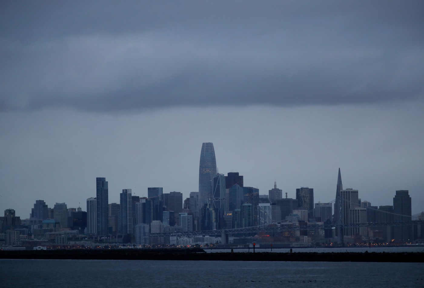
Bay Area trick-or-treaters get a chilly break between storm systems
The first of two cold storm systems expected to hit the Bay Area moved through the region as expected on Wednesday, leaving behind scattered showers and relatively small rainfall totals while on its route south.
The second of those systems is continuing on a slow pace from the Alaskan gulf toward the region and is likely not to arrive until late Friday night at the earliest.
Related Articles
As October fades, Bay Area weather ushers in rainy and cold conditions
50-year-old restaurant razed, storm-damaged Santa Cruz Wharf repairs underway
How full are California’s reservoirs heading into the winter rainy season?
Keller Fire in Oakland Hills is about extinguished; hand crews credited for quick containment
Map: Keller Fire in Oakland hills
Call the timing adequate: Those in Halloween costumes carrying gift bags and seeking candy Thursday night figured to do so in dry weather — very chilly dry weather
“It’s gonna be cold but dry,” National Weather Service meteorologist Dial Hoang said Thursday morning. “We’re not expecting any rain chances in the East Bay or South Bay. There might be a few drops in the North Bay but not anything to worry about. We expect about 6 p.m. that the temperatures will probably be in the low 60s, so it will be quite cold.”
Those cold temperatures are a bit of an advance warning for the next system dropping into the region from the Alaskan gulf. Temperatures are expected to be just as cold late Friday or early Saturday when that system arrives, and it is expected to drop rain with a bit more intensity, Hoang said.
The first system brought sporadic showers to the Bay Area. In the East Bay, they were heaviest in Oakland, which recorded three-tenths of an inch of rain, according to the weather service. In the South Bay, about four-tenths of an inch fell in Santa Cruz.
The totals were lighter elsewhere. San Jose received four-hundredths of an inch and Concord two-hundredths of an inch. In San Francisco and San Mateo, the rain was barely measurable, according to the weather service.
“You might see some lingering showers from that system in the Morgan Hill and Gilroy areas early Thursday,” Hoang said. “But that band of rain is already moving southward toward the Central Coast.”
In the Sierra Nevada, snow fell Wednesday night and was expected to do so at least during the early part of Thursday, according to the weather service. A winter weather advisory remained in effect above 7,000 feet until 2 p.m. Thursday, and the weather service said they anticipated up to four inches of snow.
Winds also were expected to gust as high as 90 mph across the Sierra crest and 30 mph in the Sierra valleys. Four-wheel drive and chains were required on Interstate 80 near the summit Thursday morning, according to Caltrans.
The next system was still on track to drop rain beginning late Friday or early Saturday, Hoang said. The weather service said it expects as much as a quarter-inch of rain in most areas of the region and may bring more snow to the Sierra Nevada.
Hoang said that system likely will be through the region by Sunday, and the dryer weather will settle in upon the region into next week.


