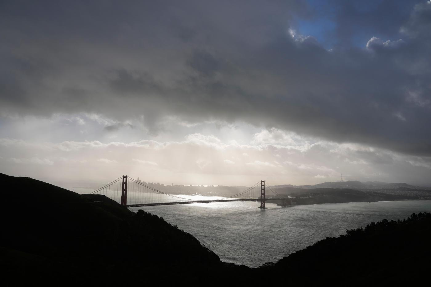
Second storm of the week remains on track to hit Bay Area and is expected to bring dangerous winds
The second storm system of the week to descend upon the Bay Area remained on track to hit the region late Friday night or early Saturday, according to the National Weather Service. That has been expected since the start of the week.
But on Friday, forecasters added a new element to the forecast. Offshore winds will be more powerful than initially anticipated and may persist past Sunday and possibly into early next week, according to the weather service. Those winds blowing toward the ocean may dry out quickly whatever rain does fall.
Related Articles
Bay Area gets a chilly break between storm systems
As October fades, Bay Area weather ushers in rainy and cold conditions
50-year-old restaurant razed, storm-damaged Santa Cruz Wharf repairs underway
How full are California’s reservoirs heading into the winter rainy season?
Keller Fire in Oakland Hills is about extinguished; hand crews credited for quick containment
It’s a scenario that could create fire danger as the weekend fades.
“Right now, we’re concerned as we move from Sunday into Monday,” NWS meteorologist Crystal Oudit said early Friday. “There will be off-shore winds in the hills. The beneficial thing is that we will be getting rain for a good part of Saturday. But when those winds blow toward the ocean, it creates very dry conditions quickly after the rain stops.”
Wind gusts are expected to blow as high 30 mph in most places in the region on Sunday, and they may get as high as 40 mph in the higher elevations, according to the weather service. Oudit said the weather service has not issued any advisory or warnings but that the status of that could change before Monday.
The rain from the system is expected to bring at least a quarter-inch of precipitation to the region, with some higher elevations in line to get as much as a half-inch. The system is moving down from the northern Pacific Ocean and will keep the temperatures chilly.
It also is expected to bring more snow to the Sierra Nevada. Forecasters said they are uncertain about how much will fall, predicting an amount between six inches in the lower elevations to two feet in the higher ones.
The rain and snow are expected to be finished by Saturday night. A weather winter advisory for the Sierra Nevada is in effect from 5 p.m. Friday until 11 a.m. Saturday
“We anticipate it’s going to taper off by mid-day Saturday,” Oudit said of the Bay Area rain. “Then it’s a matter of how quickly everything dries up.”


