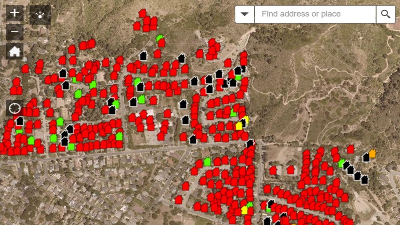
Searchable map: Houses destroyed in Los Angeles’ Eaton fire
Maps showing the status of buildings in the Palisades and Eaton wildfire zones are now available on Los Angeles County’s website.
The interactive maps categorize the condition of the homes and other structures that have been inspected. Users can put in a specific address to find a property.
The Palisades fire has burned an estimated 5,300 structures while the Eaton fire has burned an estimated 7,000 structures.
There is a separate map for the Palisades fire zone you can find here.
Related Articles
Searchable map: Houses destroyed in Los Angeles’ Palisades fire
Eaton, Palisades fires slow as containment grows, 24 dead; firefighters prepare for new winds
Could Donald Trump withhold wildfire aid from California?
California’s municipal water systems aren’t designed to fight wildfires, but maybe they should be, experts say
Former child star Rory Callum Sykes dies in L.A. wildfire


