Atmospheric river storm system bears down on Bay Area
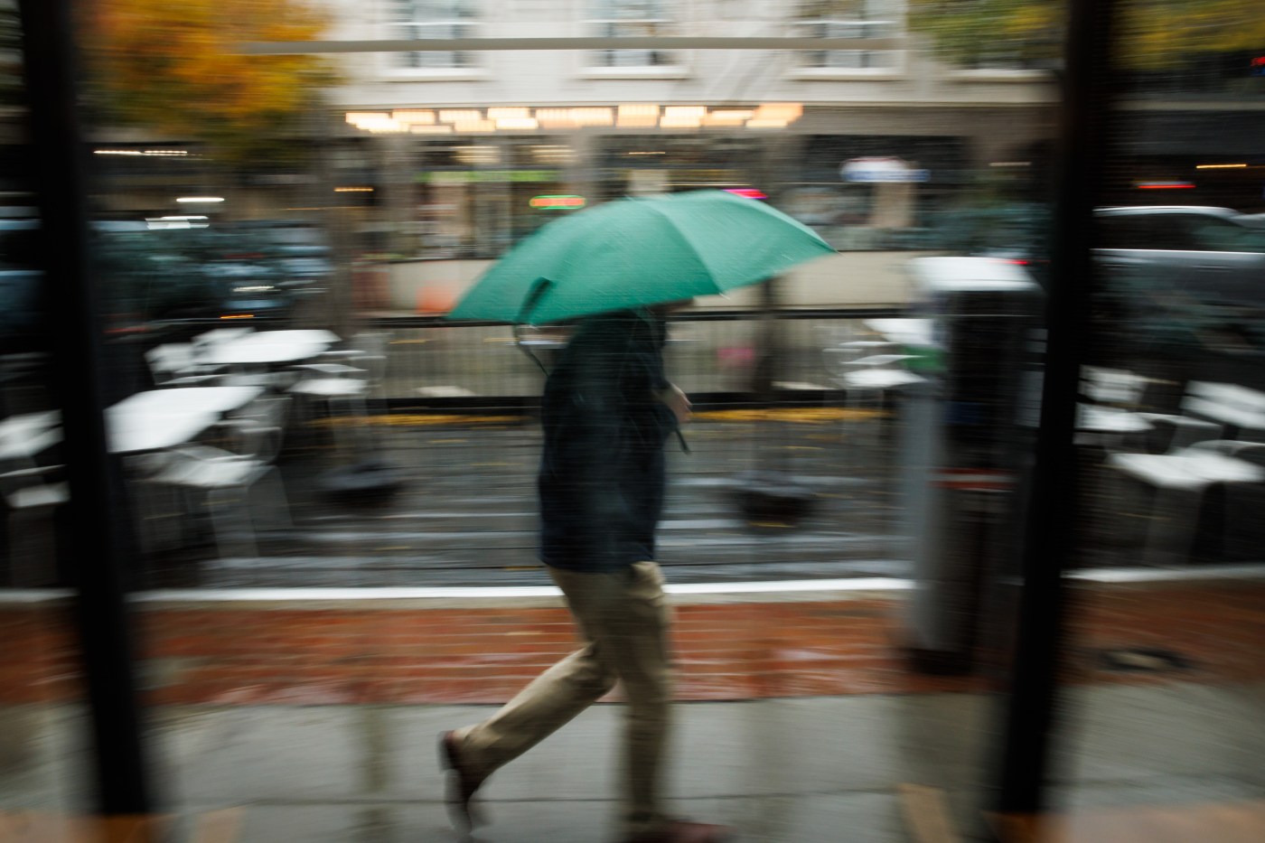
An atmospheric storm system remained on track to reach the Bay Area on Wednesday night and thrash the region into Thursday.
According to the National Weather Service, it will be a short but significant pummeling.
Related Articles
February is peak bloom of San Francisco’s gorgeous, historic magnolias
California lawmakers want tougher penalties for looting and first responder shams
Approaching winter storm set to give Bay Area a huge soaking
South Bay emergency shelters open as cold snap begins
Weather service issues flood advisory for part of Sonoma County
“It’s gonna really build in overnight and it’s going to bring good measurable rain,” NWS meteorologist Brayden Murdock said Wednesday morning.
The weather service said moderate to heavy rainfall is expected to settle in about 8 p.m. Wednesday and become more and more intense until Friday morning. The agency said urban and small stream flooding are likely, as are shallow landslides.
A flood watch along coastal counties was set to go into effect at 10 p.m. Wednesday and last until 10 a.m. Friday. The Santa Cruz Mountains and Big Sur Coast are expected to receive the brunt of the flooding, according to the weather service.
Once the rain starts, it is not expected to stop until it has left between 2-4 inches of rain throughout the lower elevations of the region and 4-8 inches in the higher ones.
Simply put, it will bring reminders of a similar system that battered the Bay Area in November.
“Late (Wednesday) night until (Thursday) morning will be the brunt of it,” Murdock said. “As we get into the afternoon hours (Thursday), it will start to fall a lot more on and off.”
By Friday morning, the weather service expects the rain to be gone. Rain is not expected to return until around Feb. 20.
High temperatures for the central part of the region aren’t expected to exceed the mid 50s during the storm, but they will climb into the 60s by the weekend and the mid-60s next week, according to the weather service. The overnight lows — which have brought freeze and frost warnings overnight since Friday — are expected to rise into the 40s.
The temperature warming is a side effect of the tropical elements present in the storm. Those same elements are expected to create blinding snow to the Sierra Nevada and Southern Cascades mountains above 4,500 feet, as well as along the coastal range in Shasta County above 2,000 feet.
The weather service issued a winter storm warning for the Sierra Nevada and Southern Cascades from 10 p.m. Wednesday through 10 p.m. Friday. They predicted up to 15 inches of snow between 4,500 and 6,000 feet and 2 and 5 feet of snow above 6,000 feet. Wind gusts are expected to reach 60 mph and whiteout conditions are expected.
Travel is expected to be nearly impossible, and safety officials urged motorists not to drive through the harrowing weather.
At the beaches, the atmospheric river will whip up waves. At all Pacific Coast beaches, waves are expected to crest between 20 to 30 feet on Thursday but then likely to reach 45 feet by Saturday, according to the weather service. The agency urged people to stay away from the water.
The rain that falls Thursday will make the opening round of the storm pattern seem like a faucet drip. That system, which helped to create a path for the atmospheric river, dropped very light rain on Tuesday night, including about one-tenth of an inch in Ben Lomond in Santa Cruz County; two-hundredths of an inch in San Francisco and .01 inches in Oakland.